Log in
All resources
Create a design
34,706 Free Images of 1797 Maps
charts and maps of the royal museums greenwich
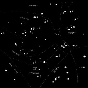
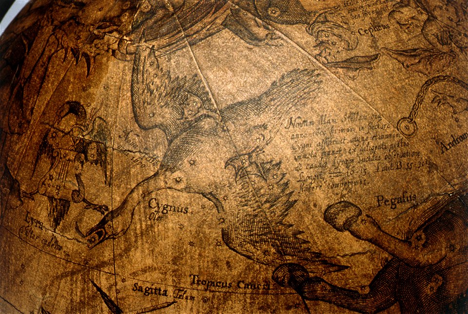
astronomical maps
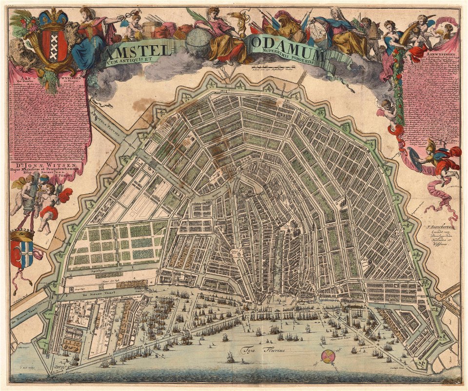
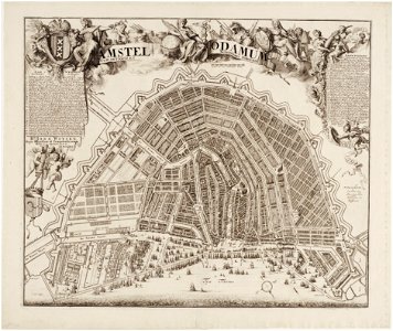
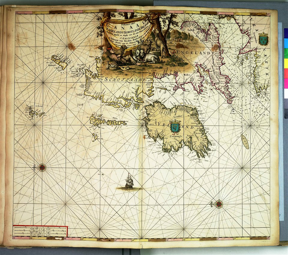
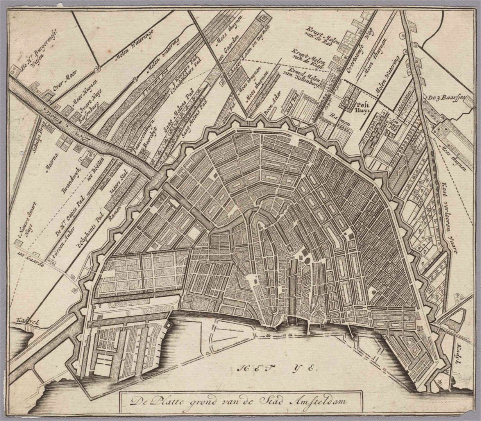
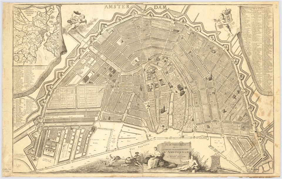
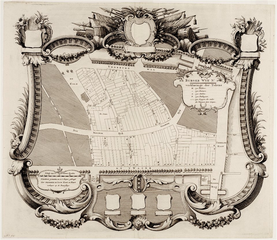
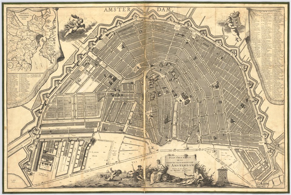
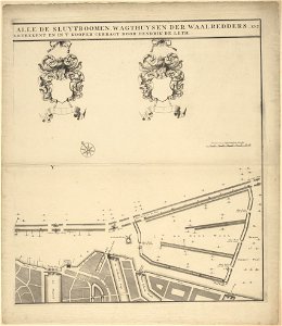
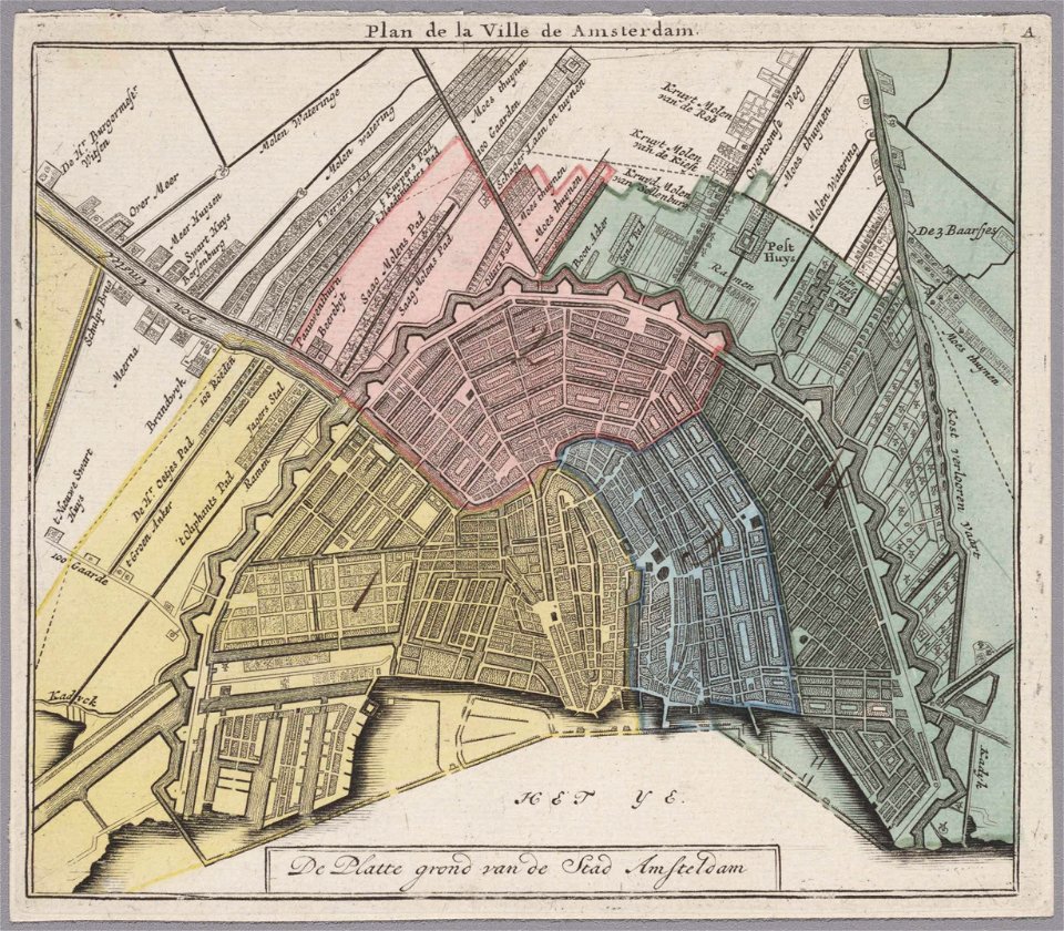
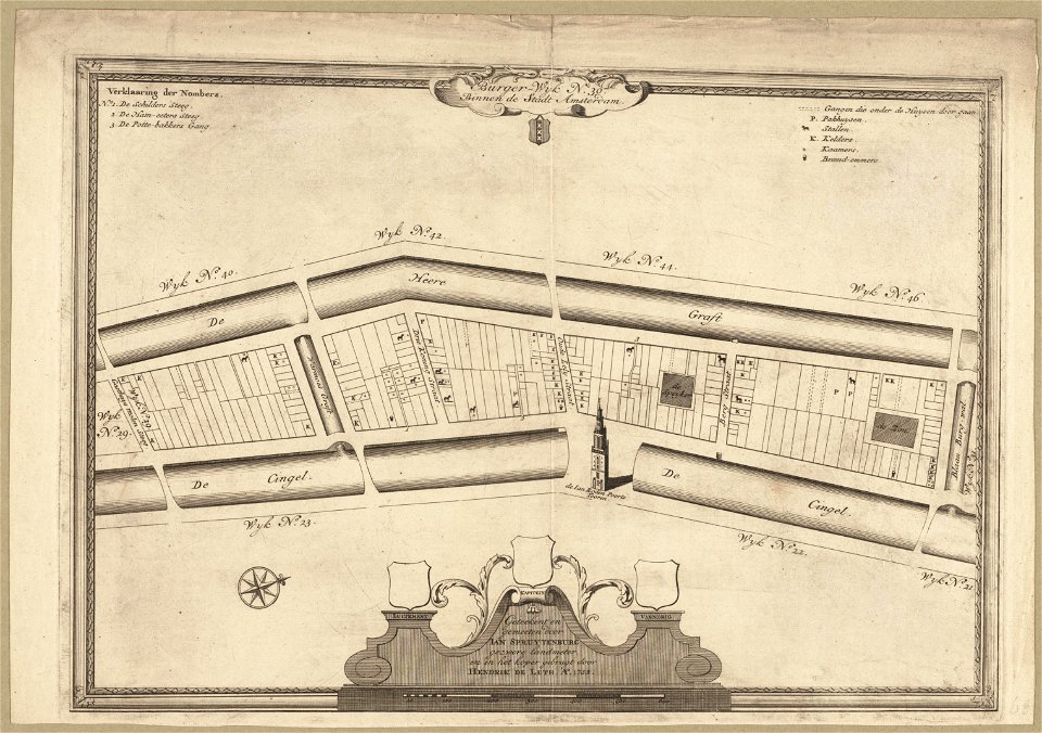
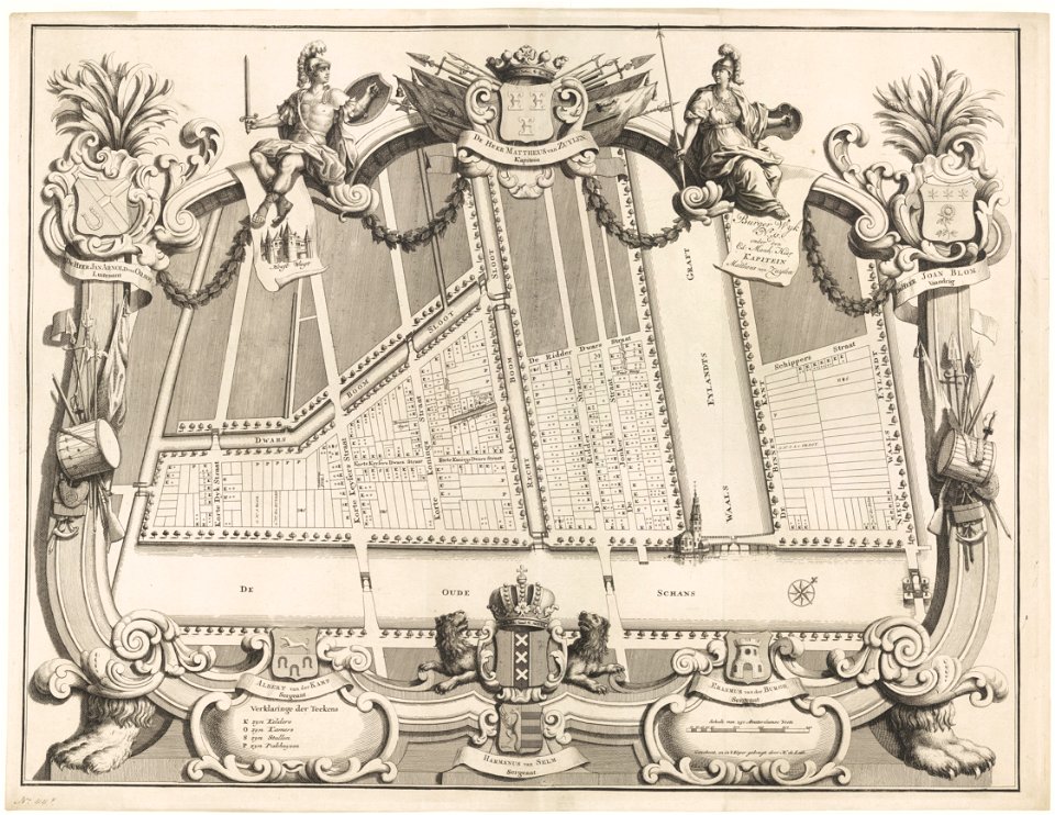
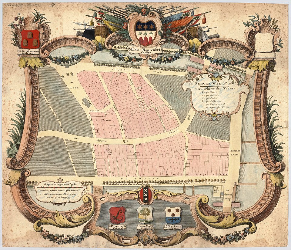
maps in the stadsarchief amsterdam
hendrik de leth
popular science monthly illustrations/volume 32
description de l'universe
popular science monthly illustrations/volume 31
description des principales villes (1690)
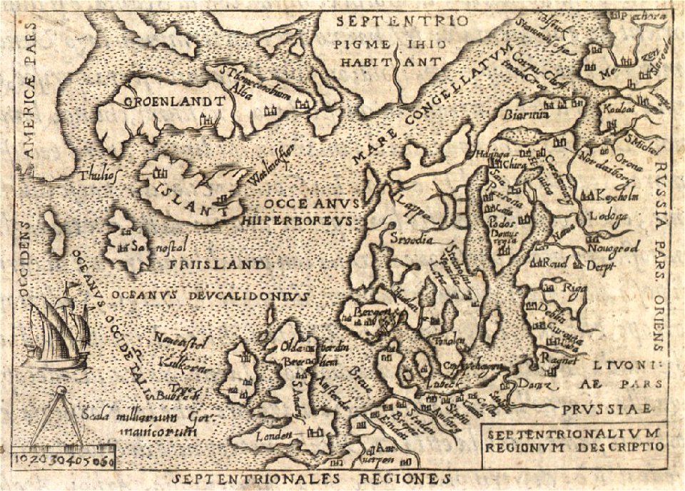
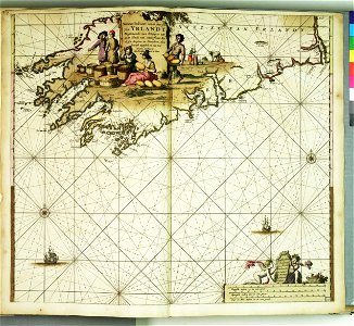
old maps of iceland
provided by landsbókasafn íslands
popular science monthly illustrations/volume 32
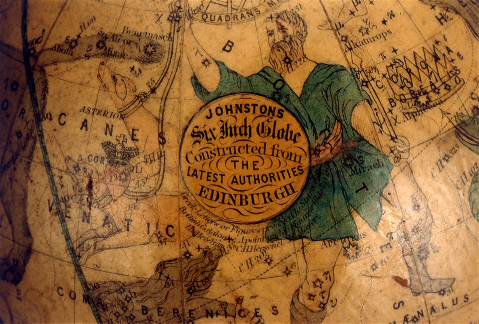
astronomical maps
popular science monthly illustrations/volume 31
astronomical maps
popular science monthly illustrations/volume 32
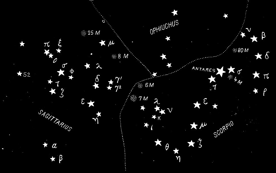
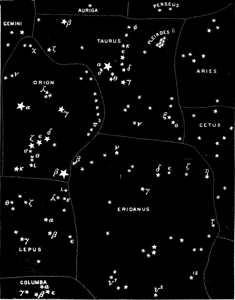
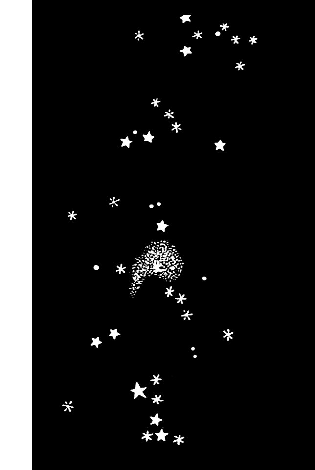
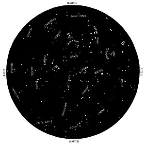
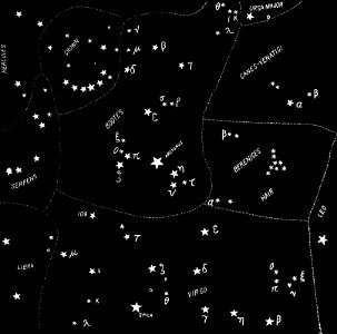
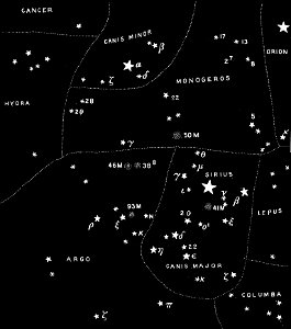
astronomical maps
popular science monthly illustrations/volume 32
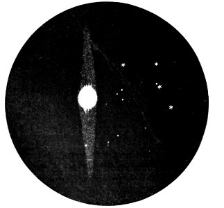
astronomical maps
popular science monthly illustrations/volume 32
astronomical maps
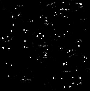
popular science monthly illustrations/volume 32
astronomical maps
popular science monthly illustrations/volume 31
astronomical maps
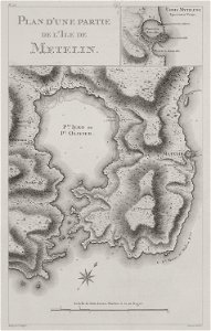
voyage pittoresque de la grèce
maps of lesbos
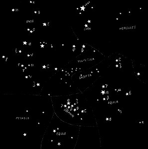
popular science monthly illustrations/volume 32
astronomical maps
popular science monthly illustrations/volume 31
astronomical maps
popular science monthly illustrations/volume 32
astronomical maps
popular science monthly illustrations/volume 32
astronomical maps
popular science monthly illustrations/volume 32
astronomical maps
popular science monthly illustrations/volume 32
astronomical maps
popular science monthly illustrations/volume 31
astronomical maps
popular science monthly illustrations/volume 31
astronomical maps
popular science monthly illustrations/volume 31
astronomical maps
popular science monthly illustrations/volume 32
astronomical maps
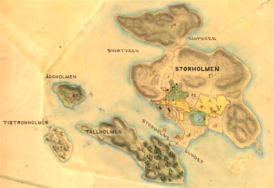
19th-century maps of stockholm
lidingö kommun
17th-century maps of the americas
scottish americans
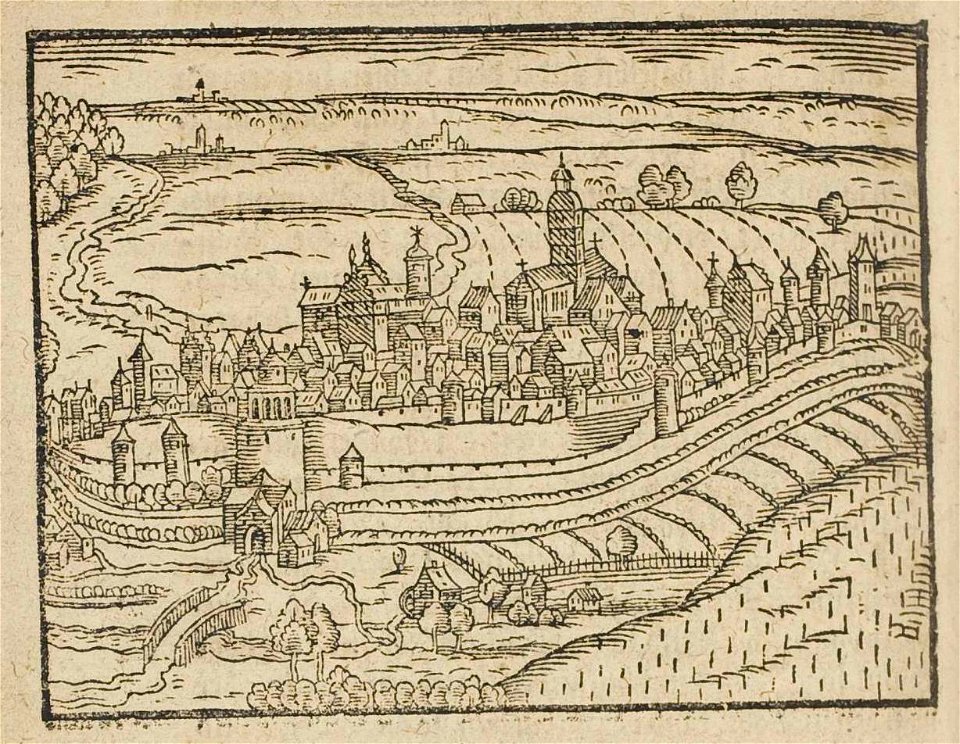
theatrum urbium (1610)
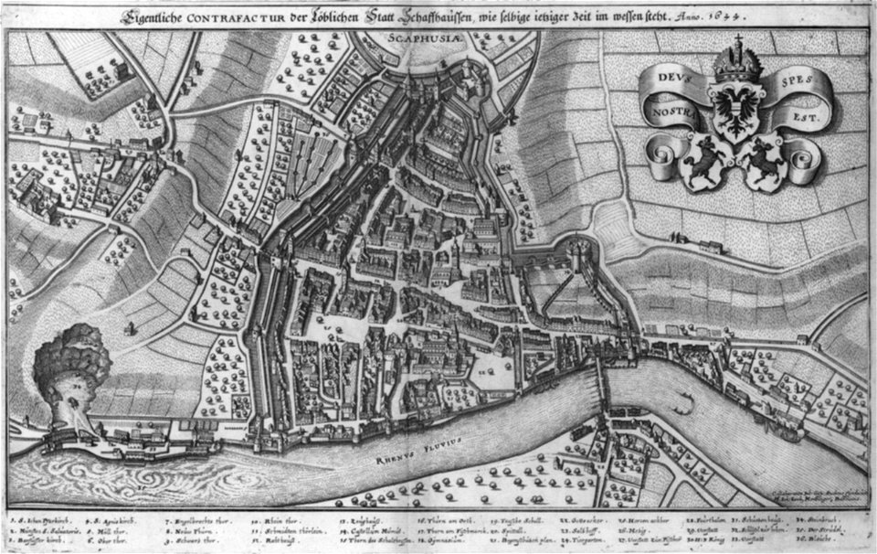
maps of schweinfurt
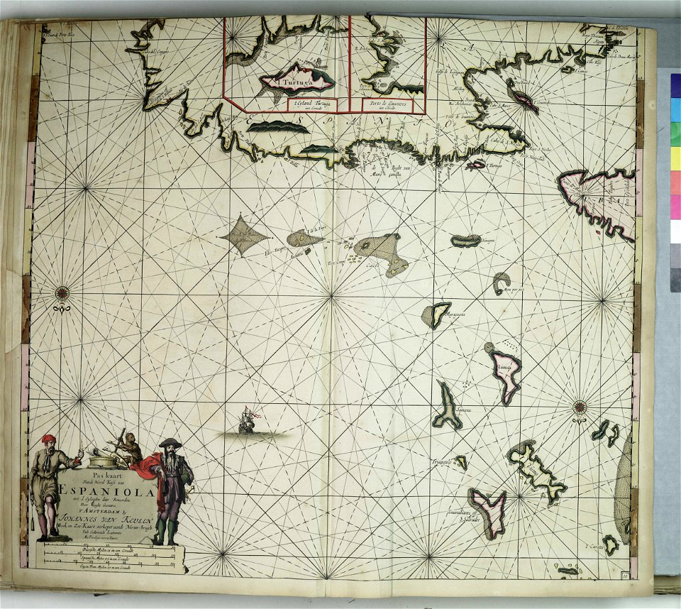
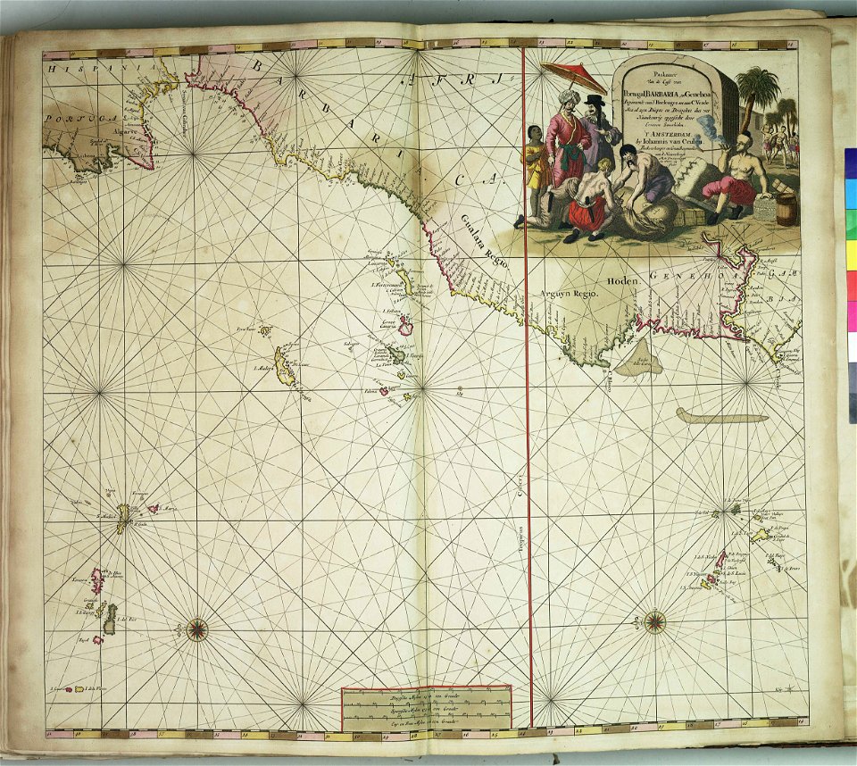
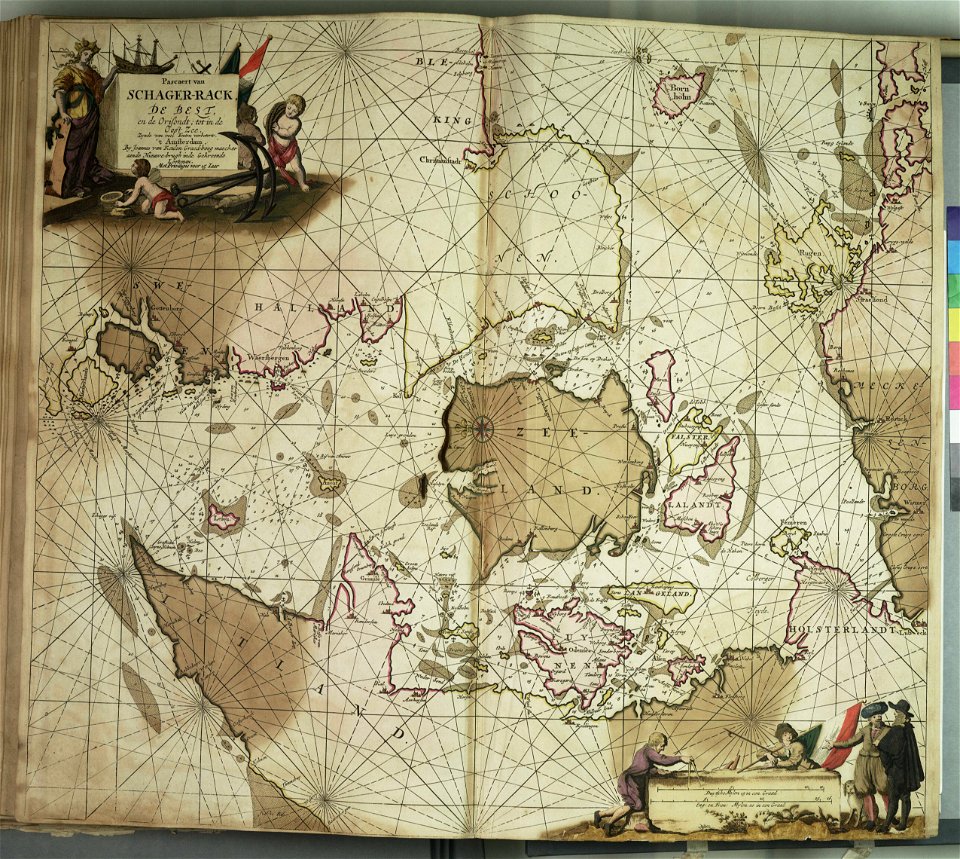
charts and maps of the royal museums greenwich
charts and maps of the royal museums greenwich
charts and maps of the royal museums greenwich
charts and maps of the royal museums greenwich
charts and maps of the royal museums greenwich
charts and maps of the royal museums greenwich
charts and maps of the royal museums greenwich
charts and maps of the royal museums greenwich
charts and maps of the royal museums greenwich
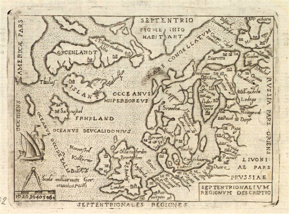
provided by landsbókasafn íslands
old maps of iceland
provided by landsbókasafn íslands
old maps of iceland
provided by landsbókasafn íslands
old maps of iceland
nicolas de fer
roussillon
maps in the stadsarchief amsterdam
romeyn de hooghe
maps in the stadsarchief amsterdam
romeyn de hooghe
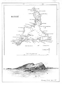
old maps of the outer hebrides
north rona
maps in the stadsarchief amsterdam
romeyn de hooghe
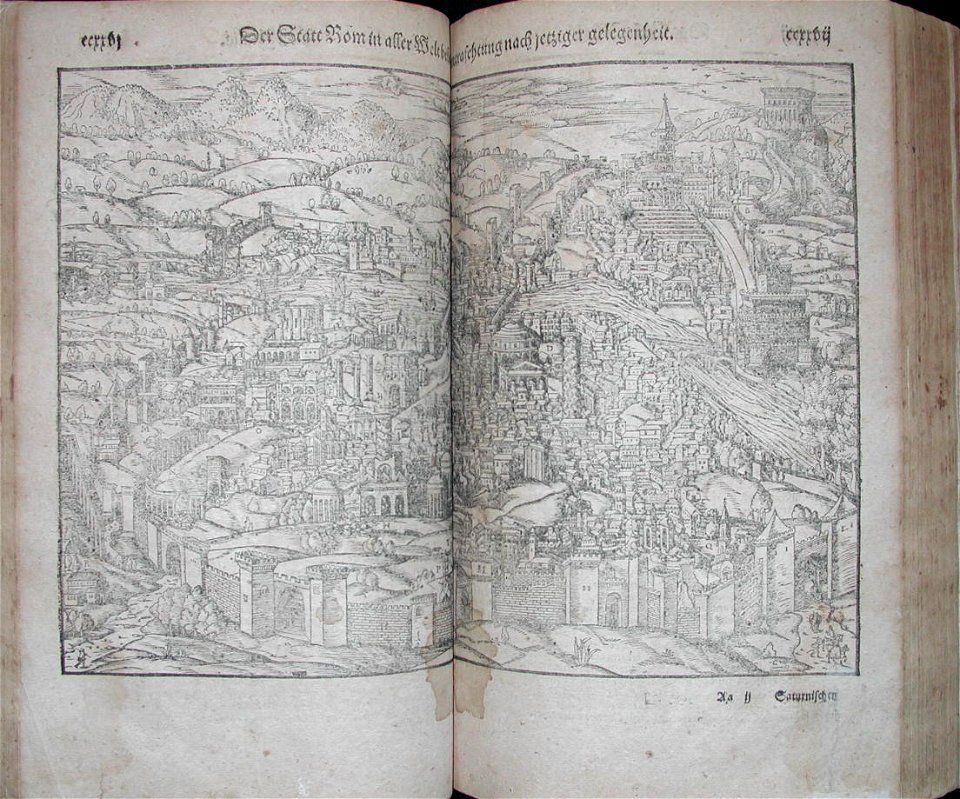
illustrations of cosmographia (münster)
old maps of rome
description des principales villes (1690)
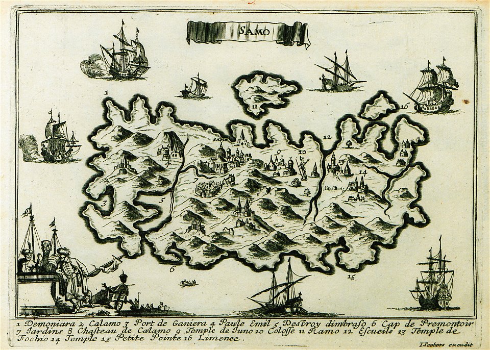
maps of samos
rhaetiae et valesiae
merian helvetiae
edi expedition
aceh war
description des principales villes (1690)
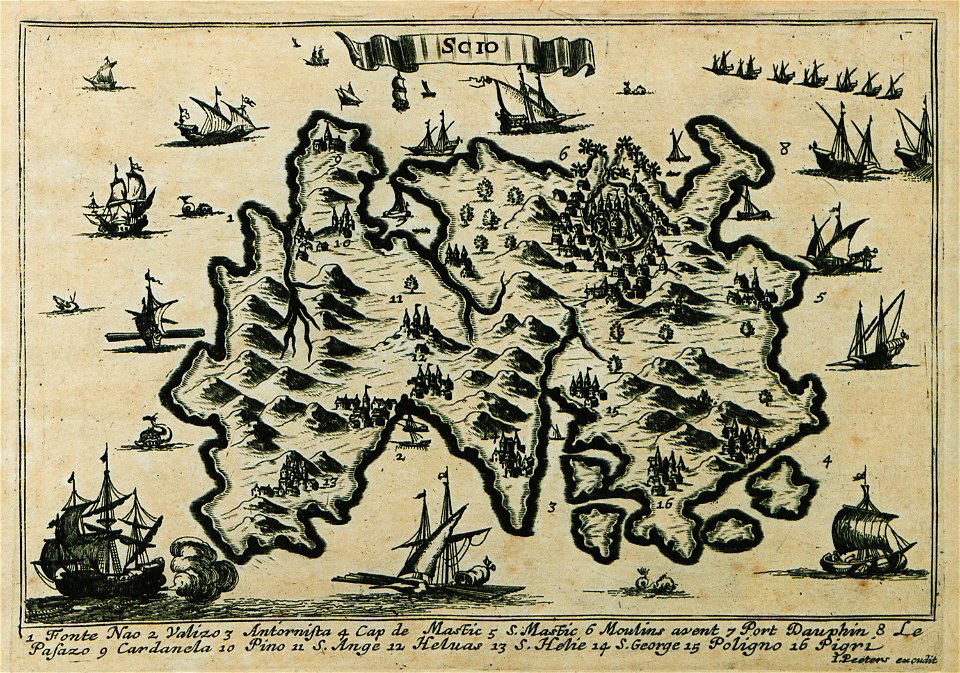
maps of chios
johann walch (engraver)
1805 engravings
maps by royal bavarian land tax commission
kager
charts and maps of the royal museums greenwich
description des principales villes (1690)
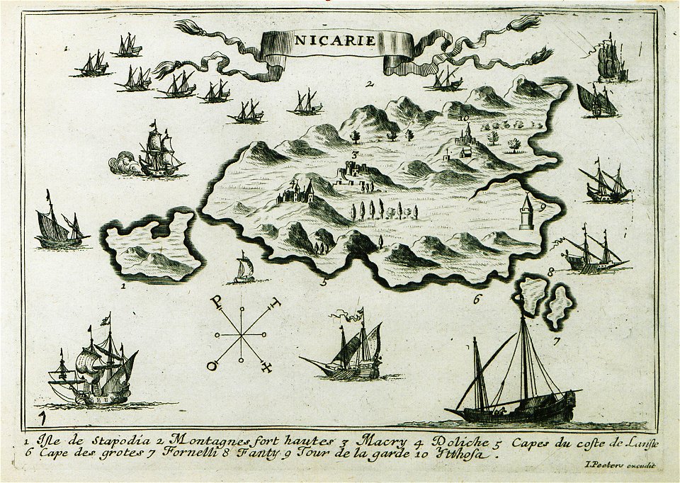
maps of icaria
description des principales villes (1690)
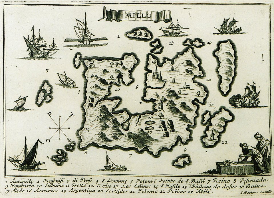
maps of milos
charts and maps of the royal museums greenwich
charts and maps of the royal museums greenwich
charts and maps of the royal museums greenwich
charts and maps of the royal museums greenwich
charts and maps of the royal museums greenwich
charts and maps of the royal museums greenwich
charts and maps of the royal museums greenwich
charts and maps of the royal museums greenwich
charts and maps of the royal museums greenwich
charts and maps of the royal museums greenwich
charts and maps of the royal museums greenwich
charts and maps of the royal museums greenwich
charts and maps of the royal museums greenwich
charts and maps of the royal museums greenwich
charts and maps of the royal museums greenwich
charts and maps of the royal museums greenwich
charts and maps of the royal museums greenwich
charts and maps of the royal museums greenwich
charts and maps of the royal museums greenwich
section schwarzenberg (1843)
oberreit
section schwarzenberg (1843)
oberreit
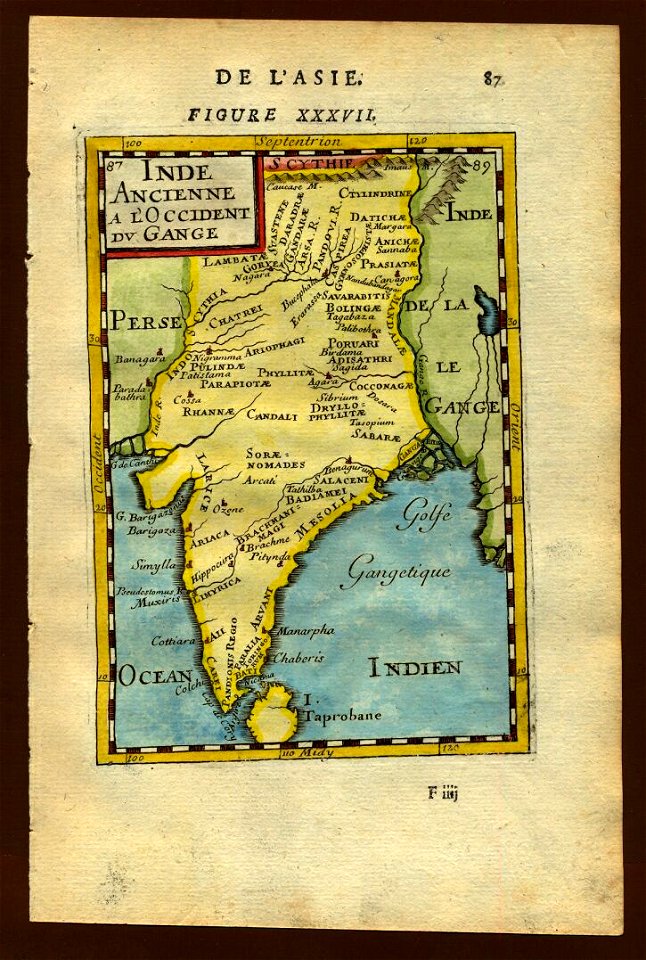
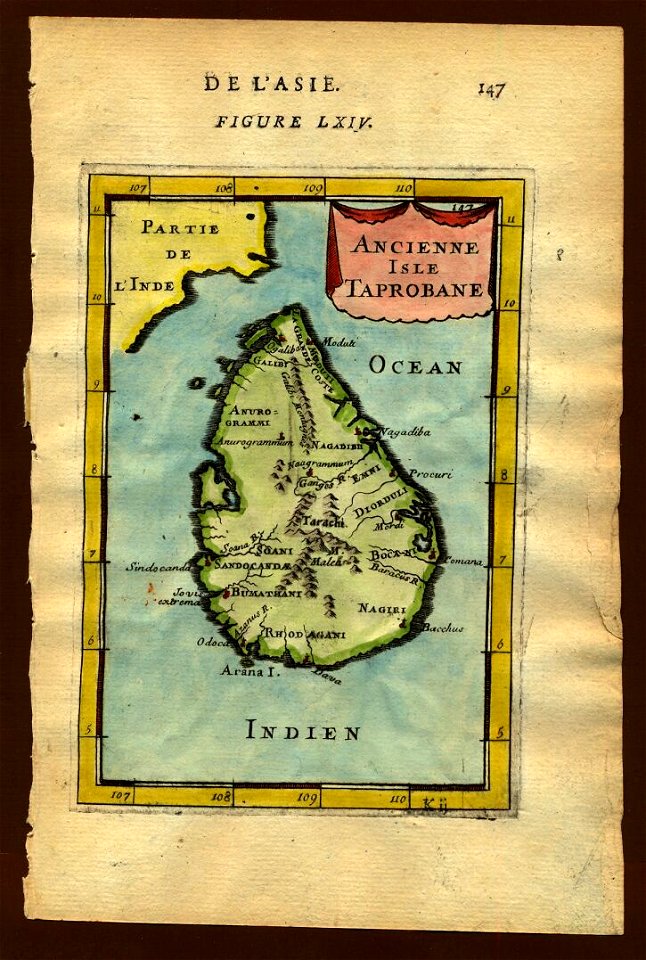
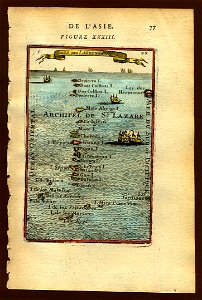
description de l'universe
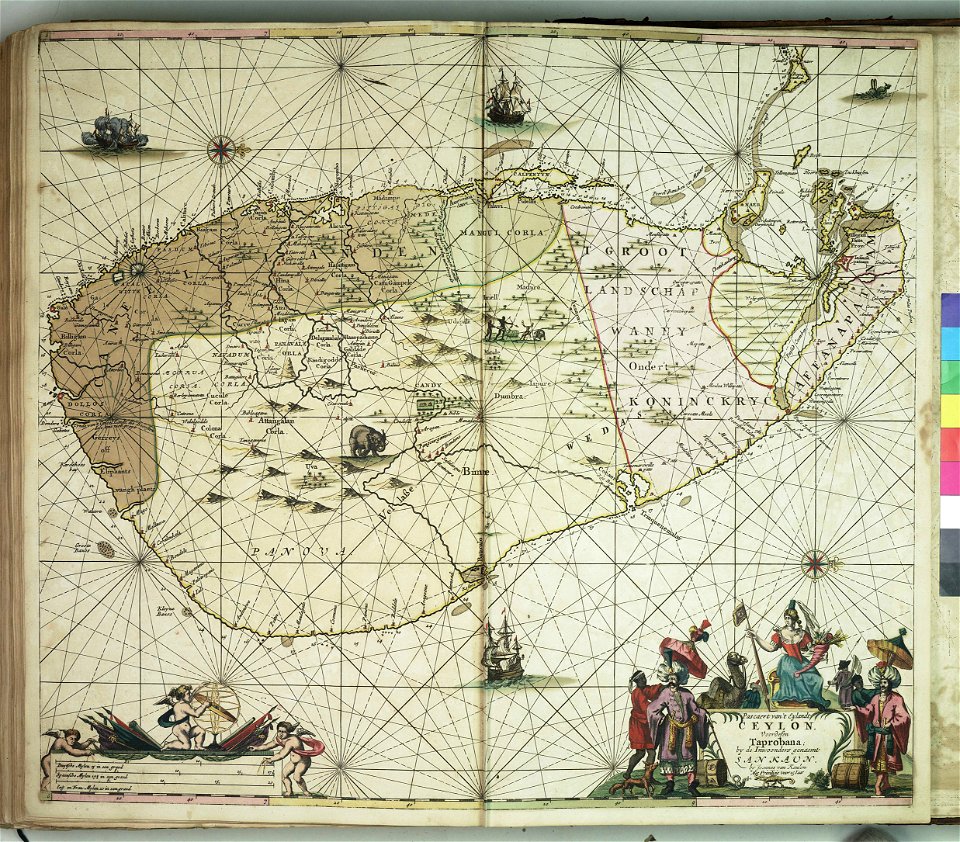
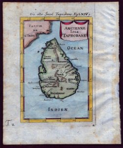
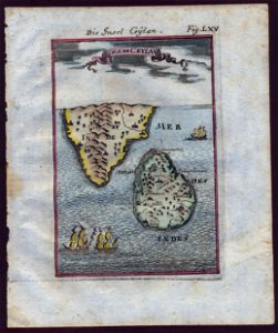
old maps of sri lanka
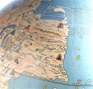
17th-century maps of india
description de l'universe
17th-century maps of france
description de l'universe
description de l'universe
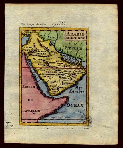
old maps of saudi arabia
description de l'universe
old maps of sri lanka
description de l'universe
old maps of saudi arabia
description de l'universe
old maps of sri lanka
old maps of southeast asia
description de l'universe
bungo province
keichō kuniezu
maps of osaka prefecture
settsu province
engravings by matthäus merian
old maps of blokzijl
charts and maps of the royal museums greenwich
charts and maps of the royal museums greenwich
charts and maps of the royal museums greenwich
charts and maps of the royal museums greenwich
charts and maps of the royal museums greenwich
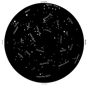
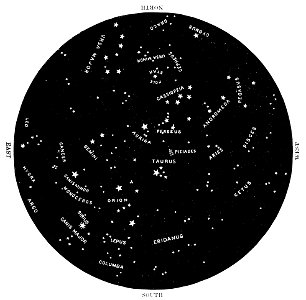
northern hemisphere
maps with figures
northern hemisphere
maps with figures
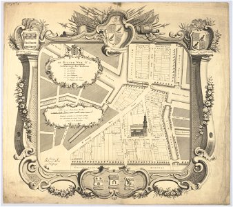
maps in the stadsarchief amsterdam
hendrik de leth
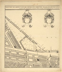
maps in the stadsarchief amsterdam
hendrik de leth
maps in the stadsarchief amsterdam
hendrik de leth
maps in the stadsarchief amsterdam
hendrik de leth
maps in the stadsarchief amsterdam
hendrik de leth
maps in the stadsarchief amsterdam
hendrik de leth
maps in the stadsarchief amsterdam
hendrik de leth
maps in the stadsarchief amsterdam
hendrik de leth
maps in the stadsarchief amsterdam
hendrik de leth
maps in the stadsarchief amsterdam
hendrik de leth
maps in the stadsarchief amsterdam
hendrik de leth
maps in the stadsarchief amsterdam
hendrik de leth
maps in the stadsarchief amsterdam
hendrik de leth
6801 - 6900 of 34,706
Next page
/ 348